Most everyone has heard of the Ohio River. But where does the Ohio River actually start?
The Ohio River starts in Pittsburgh, Pennsylvania, where the Monongahela and the Allegheny Rivers meet. It flows southwest joining the Mississippi River near Cairo, Illinois, which empties into the Gulf of Mexico. The Ohio River is a navigable waterway vital to regional trade and commerce.
The Ohio (derived from a Seneca word) is integral to the economy of the states it flows through or borders. So how deep is the Ohio River? Is it freshwater or saltwater? Can you boat on the Ohio River? Discover more about the Ohio River in the following sections.
Ohio River History
The Ohio River is one of the most important rivers in the United States. The river has played a significant role in the development of cities like Pittsburgh, Cincinnati, and Louisville as it connects these cities with the Mississippi River and the Gulf of Mexico. Even before modern industrial society existed, the Ohio River was a significant waterway.
The earliest users of the Ohio are believed to have been the Hopewell People, indigenous Americans who lived in the Ohio River Valley and across the eastern Americas between about 0 and 500 AD.
The Hopewell was a mound-building people known mainly for their massive and complex earthworks. However, the Hopewell People are also well-known for their interesting artwork. If you want to learn more, you should visit the National Historical Park dedicated to the Hopewell People next time you’re on the river.

The coming of European settlers to North America brought a new group of users to the Ohio River. One of the first known Europeans to travel along the Ohio River was a Frenchman named Rene-Robert Cavelier, Sieur de La Salle, who navigated the river in 1669. Cavelier went on to explore more middle-American waterways before his unfortunate death at the hands of his own men in 1687.
In 1749, King George II of Britain approved the exploration of the headwaters of the Ohio near modern-day Pittsburgh. This action inevitably led to conflict with the French, who controlled the lands along the western run of the Ohio River. The dispute over the Ohio River was a major factor in the French and Indian War.
Eventually, the British wrested control of the Ohio River from the French. In 1774, to punish the rebellious colonies, Parliament passed legislation granting lands “east of the Mississippi River and north of the Ohio River” to the French-speaking Catholics of the colony of Quebec. This act was a source of profound irritation to American colonists, so much so that the Quebec Act is sometimes considered one of the Intolerable Acts which led to the American Revolution.
In the 1800s, the Ohio River flourished as new settlements grew and expanded, sending human and material traffic up and down the river. Then, as the prelude to the American Civil War began brewing in the mid-1800s, the Ohio became a regular stop on the Underground Railroad as escaped slaves made their way to freedom in the Northern states.
The Modern Ohio River

The Ohio River remains critically important today. More than $43 billion worth of goods travels along the Ohio River every year. In Pittsburgh alone, more than 120 companies are located along the banks of the Ohio River and the immediately adjacent Monongahela.
The Ohio River is also important to agriculture. Millions of gallons of water from the Ohio are used to irrigate a variety of crops in farms throughout the Ohio River Valley. The river even powers multiple hydroelectric power plants, which generate about 5% of the total electricity used in the United States.

Unfortunately, not all users of the river are respectful of the environment. The Ohio River struggled with a serious pollution problem for a long time. Plants, animals, and fish along the Ohio died out. Finally, in the late 1950s, the Ohio River was so acidic that it would rust out 20-year boat hulls in less than four years.
After decades of sustained effort, the Ohio River of today is much cleaner. Fish, birds, and aquatic plants have returned to most sections of the river, and humans use the water for recreation all the time. However, some companies continue to discharge industrial waste into the river, and it is always a good idea to check with local authorities before eating fish from the river.
Keystone Answers Fun Fact: The Ohio River was once home to pirates! In the late 18th century, a band of pirates led by Samuel Mason began operating on the Ohio River near Cave-In-Rock, Illinois. The pirates were forced out by the Army in 1799, but continued operating until 1803, when Mason was captured and subsequently killed in an escape attempt.
Is the Ohio River the Longest River in the United States
Rivers are naturally flowing waterways that flow towards an ocean, lake, or another river. The US has over 250,000 rivers with an estimated 3,500,000 miles of riverways. You may be wondering exactly how the Ohio River ranks in that list.
The following table lists, in the order of their length, the top 10 longest rivers in the US, and the Ohio River has secured the number 10 spot. So even though the Ohio River is 981 miles long, it isn’t the longest in the US.
| Rank | River | Length | Drainage Area | States and Provinces Affected | Begins | Ends |
|---|---|---|---|---|---|---|
| 1. | Mississippi | 2,350 miles | 1,260,000 mi2 | US: Minnesota, Wisconsin, Iowa, Illinois, Missouri, Kentucky, Tennessee, Arkansas, Mississippi, and Louisiana | Itasca Lake, Minnesota | Gulf of Mexico, South of New Orleans, Louisiana |
| 2. | Missouri | 2,315 miles | 529,350 mi2 | US: Montana, North Dakota, South Dakota, Iowa, Nebraska, Kansas, and Missouri | Missouri Headwaters State Park, Montana | Mississippi River, North of St. Louis, Missouri |
| 3. | Yukon | 1,980 miles | 321,500 mi2 | Canada: British Columbia, Yukon, and US: Alaska | Coastal Range Mountains, British Columbia, CA | Bering Sea, Alaska |
| 4. | Rio Grande | 1,896 miles | 182,200 mi2 | US: Colorado, New Mexico, Mexico: Chihuahua, Coahuila, Nuevo León, and Tamaulipas, US: Texas | San Juan Mountain Range, Colorado | Gulf of Mexico, Brownsville, Texas |
| 5. | Arkansas | 1,469 miles | 170,000 mi2 | US: Colorado, Kansas, Oklahoma, and Arkansas | Leadville, Colorado | Mississippi River, Near Napoleon, Arkansas |
| 6. | Colorado | 1,450 miles | 246,000 mi2 | US: Colorado, Utah, Nevada, California, Arizona, Mexico: Baja California, and Sonora | La Poudre Pass Lake, Colorado | Sonoran Desert, Mexico |
| 7. | Red | 1,290 miles | 93,000 mi2 | US: Texas, Oklahoma, Arkansas, and Louisiana | Texas Panhandle | Atchafalaya River, Near Simmesport, Louisiana |
| 8. | Columbia | 1,243 miles | 258,000 mi2 | Canada: British Columbia, US: Washington, and Oregon | Columbia Lake, British Columbia CA | Pacific Ocean, West of Astoria, Oregon |
| 9. | Snake | 1,078 miles | 109,000 mi2 | US: Wyoming, Idaho, Oregon, and Washington | Two Ocean Plateau, Wyoming | Columbia River, Near Pasco, Washington |
| 10. | Ohio | 981 miles | 203,940 mi2 | US: Pennsylvania, Ohio, West Virginia, Kentucky, Indiana, and Illinois | Pittsburgh, Pennsylvania | Mississippi River, Cairo, Illinois |
How Many States Does the Ohio River go Through?
All in all, the Ohio River runs for 981 miles and passes through or touches six states. From Pennsylvania, the river borders Ohio, West Virginia, Kentucky, Indiana, and Illinois before it joins the Mississippi River and eventually empties into the Gulf of Mexico.
The Ohio River begins its course in Pittsburgh, Pennsylvania, at the confluence of the Allegheny River and the Monongahela River. The Ohio River moves northwest and then sweeps southwest, defining the border between Ohio and West Virginia, then Ohio and Kentucky. From there, the river continues southwest, defining Kentucky’s border with Indiana and Illinois before emptying into the Mississippi River near Cairo, Illinois.
Barges on the Ohio River
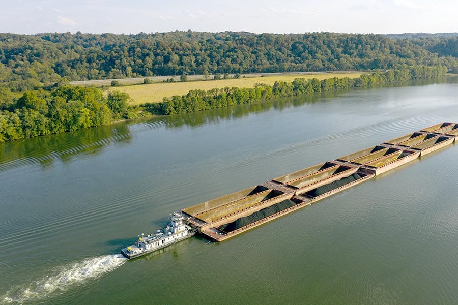
The barge is one of the most popular ways to ship freight along the Ohio River. Barges and towboats are familiar sights along the Ohio River, cruising along at about five miles per hour. Barges are frequently used to bring products like Pittsburgh steel, coal, oil, and other industrial goods to port.

The average barge can carry about 1,500 tons, or 3 million pounds, of cargo. Towboats usually push 15 barges at a time, which means that an average towboat/barge combo can weigh more than 45 million pounds. In other words, the average barge combo floating down the Ohio River weighs about twice as much as the White House!
Much like trains, barges do not stop especially fast and have a lot of mass. Therefore, boaters, paddlers, waterskiers, and swimmers should keep a respectful distance from barges.
Can You Boat the Entire Ohio River?
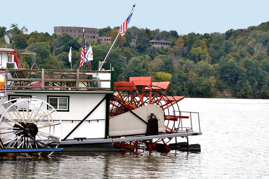
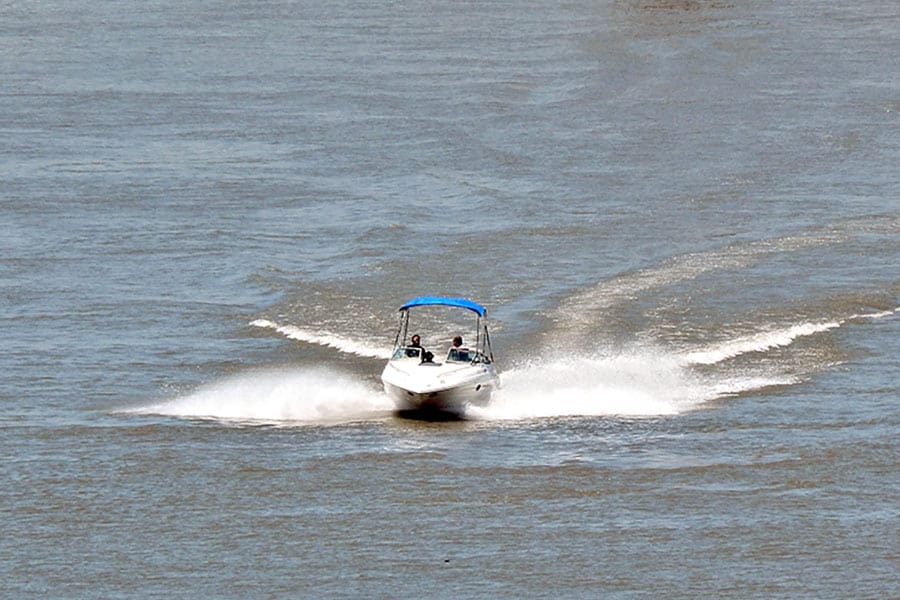
The Ohio River is navigable. Large vessels, barges, and towboats operate on the river all the time. In addition to commercial boat traffic, the Ohio River is popular with anglers, recreational boaters, paddlers, and water enthusiasts of all kinds.

There are many locks and dams on the Ohio River that are operated by the U.S. Army Corps of Engineers and allow boat traffic to flow freely. Boaters must stay out of the restricted areas around the locks and dams and follow local port rules along the river, but otherwise, it is freely navigable.
The Ohio River is technically considered a federal waterway. As such, it is under the jurisdiction of the United States Coast Guard. However, the river is also under the jurisdiction of multiple local law enforcement agencies and is subject to state regulations.

Boaters should familiarize themselves with their prospective routes and the regulations that apply along them. The Ohio Department of Natural Resources website has a good summary of the rules of the river.
Where is the Deepest Part of the Ohio River Located?
The depth of the Ohio River varies considerably along the river’s course, but the deepest section is located near Louisville, Kentucky. While the average depth of the Ohio River is about 24 feet, the section near Louisville runs about 130 feet deep! Louisville is also where the Ohio River is widest, spanning almost a mile between banks.
As the Ohio winds its way toward the Mississippi, it gradually becomes more and more shallow. Finally, at the junction of the Ohio and the Mississippi, the river is only about 20 feet deep.
Is the Ohio River Freshwater or Saltwater?
The Ohio River is a freshwater river. Both the Allegheny and the Monongahela Rivers, which feed the Ohio, are freshwater rivers. The Mississippi, which the Ohio empties into, is also a freshwater river. There is no point at which the Ohio River comes into contact with salt water.
In fact, the fresh water of the Ohio River is a critical water source for more than 25 million people who live in the Ohio River Basin. More than 50 million gallons of water are drawn from the Ohio River daily, with more than 2 million destined for consumption. The river is also a vital source of fresh water for agriculture and industry.
Rollin’ Down the River
The Ohio River is a vital waterway for commerce and recreation. Every day, barges push thousands of pounds of materials and products up and down the river, and pleasure-seekers use the river for boating, paddling, bird-watching, and water skiing. From its origin in Pittsburgh, the Ohio River flows to the Mississippi and the Gulf, connecting the great state of Pennsylvania with New Orleans and the rest of the world.


